We use analytic cookies to help us understand how many visitors we have and how they move around our website. These cookies do not contain personally identifiable information. If you wish to amend your cookie preferences for this website you can do this through your browser settings.
OK

National Atlas of Hungary

Information

You are browsing the analog version of the National Atlas of Hungary. The electronic, interactive version of the atlas is available on the emna.hu website.

1. State and Nation
4. Economy

Welcome

Welcome to the homepage of the National Atlas of Hungary project!

The aim of the project is to publish a new national atlas. This idea, just like in 1983, was initiated by the Hungarian Academy of Sciences. The project has been coordinated by the Geographical Institute of the Research Centre for Astronomy and Earth Sciences, in cooperation with its strategic partner, the Department of Cartography and Geoinformatics of Eötvös Loránd University.

A national atlas, like the flag, coat of arms or the national anthem, has always been an important symbol for any country in the world. National atlases have been initiated by governments and scientists (often by national academies) and they have been published as the result of a broad national collaboration. This happened in Hungary in 1964–1967 and in 1983–1989, when the first two editions of the National Atlas of Hungary were published. On these grounds, we strongly believe that the result of the present initiative, supported by the government and with the contribution of scientists, will be a new edition of the National Atlas of Hungary. We intend to publish this atlas not only in a conventional (printed) form, but also in electronic version (on DVD and on the web) to meet the demands of the time. On this homepage, the readers will find information on maps in preparation and under development as well as view-only and interactive (later analytical) maps. In this way, the users (such as decision-makers at government level, partners at various levels in the education system, other professionals) can receive information both about Hungary and about the natural, social and economic conditions in the Carpathian Basin based on the topic and available data.

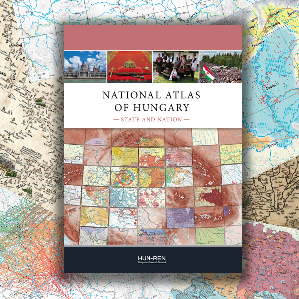
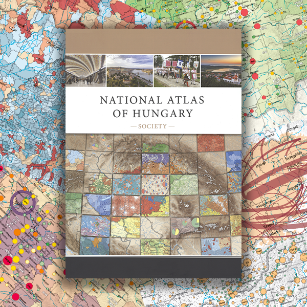
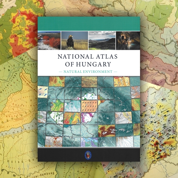
The plan is that the printed version of the National Atlas of Hungary will be published in four volumes, with one volume published each year from 2018. The planned titles and topics of the volumes are as follows: Natural environment; Society; State and Nation; Economy.

Until the publication of the volumes and maps of the new National Atlas of Hungary, this homepage will provide information on the history and different types of national atlases. Readers can learn about the content of atlases that are regarded as forerunners of the National Atlas of Hungary. Information about the content and structure of the present project is also given.

Please keep browsing!

 
Károly Kocsis
Member of the Academy, Director of the Institute
Chairman of the Editorial Board of the National Atlas of Hungary

Published volumes

National Atlas of Hungary, Vol. 3, Society (2021)

The Society volume of the new Hungarian National Atlas focuses on Hungary’s society, offering an overview of the spatial dynamics of the population and exploring historical roots. Several chapters analyse the interconnections and interactions between the human and natural envi-ronments (e.g. the human side of living conditions and quality of life, housing conditions and the municipal environment). The thematic maps inform about such diverse topics as fertility, live births out of wedlock, life expectancy, the main causes of death, resident foreigners, the cross-border migration of Hungarians, daily commuting abroad, ageing, marriage, divorce, cohabita-tion, ethno-linguistic structure, religiosity, educational level, unemployment, income inequalities, suburbanisation, the types and dynamics of urban and rural settlements, the changing face of Budapest and its agglomeration, hospital care, social welfare, the first year of Covid-19, internet use, housing conditions, the housing market, road accidents and crime.

To the full text

National Atlas of Hungary, Vol. 2, Natural environment (2018)

The volumes of the new Hungarian National Atlas are headed by an introduction to Hungary’s natural environment. On the one hand, this publication gives an overview of the state of the lithosphere, hydrosphere and atmosphere, as well as of the biosphere in Hungary. On the other hand, there are synthetic chapters and topics that analyse how the natural and human environments are interconnected and how they interact (e.g. landscapes, environment protection, nature conservation, and natural hazards). Leafing through the thematic maps grouped together, we are informed about such diverse themes as engineering geology, earthquakes, expected changes in the elements of the climate, weather records, groundwaters, karstic, mineral, medicinal and thermal waters, the main features of soils, land quality, types and characters of landscapes, Hungary’s amazingly rich flora and fauna, the current state of the environment and waste management, protected areas, ecotourism, and the country’s main natural hazards, namely floods, excess waters, droughts, soil erosion, the spread of invasive species and pollen allergies.

To the full text