National Atlas of Hungary - Antecendents
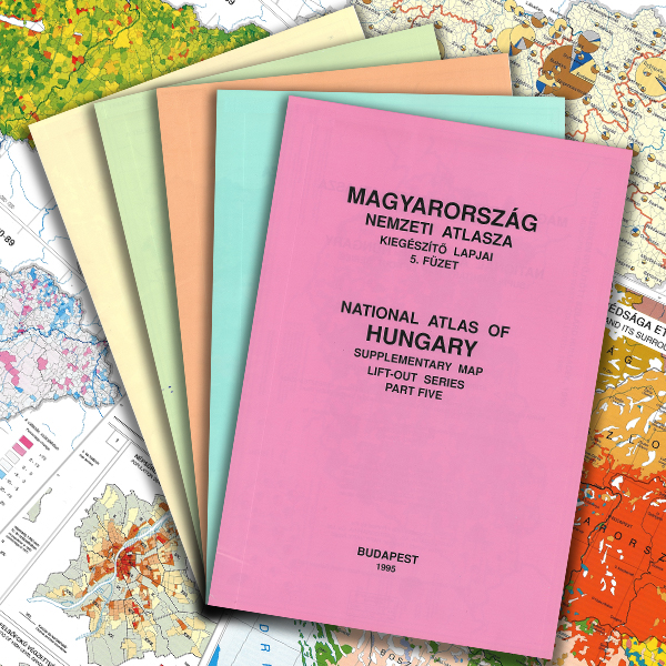
Márton Pécsi (President of the editorial board) 1994–1995. National Atlas of Hungary. Supplementary Map Lift-out Series. 1–5. MTA Geographical Research Institute, Budapest.
The fundamental social and economic changes after 1989 and the publication of the data of the 1990 population census inspired the Geographical Research Institute of the Academy to issue supplementary map sheets to the National Atlas of Hungary with the purpose of quickly providing society with reliable information. In accordance with modern international trends, the editors broke with the tradition of publishing a uniform and large volume. Opening up to the general public and the education system expressed a change in function, as people were becoming more interested in problem-oriented subject-matter (such as ethnic issues, new public administration, demographic problems, international migration, elections, taxation, environmental conflicts). Further, map-making switched from traditional techniques to digital technology (ArcGIS).
Content
Click on the parts to access the full text!
|
Ethnic map of Hungary and its surroundings |
||
| Administrative divisions, 1994 | ||
| PART TWO (10.3 MB) | ||
Population and demographic trends, 1980-1989 |
||
| Parliamentary elections, 1990 and 1994 | ||
| PART THREE (13.3 MB) | ||
| International migration, 1980-1993 | ||
| Budapest 1970-1990 | ||
| PART FOUR (8.6 MB) | ||
| Personal income tax, 1991 | ||
| Local taxes, 1992 | ||
Municipal solid waste (collected), 1990 |
||
Hazardous wastes, 1990 |
||
Athmospheric pollution (emissions), 1990 |
||
| Social conflicts relating to environment, 1985-1994 | ||
| Environmental pollution at former Soviet military sites | ||